Tel : (+33) 4 94 63 18 08
9am - 6pm from Monday to Sunday
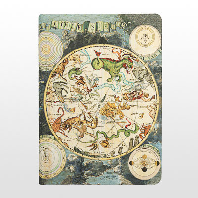
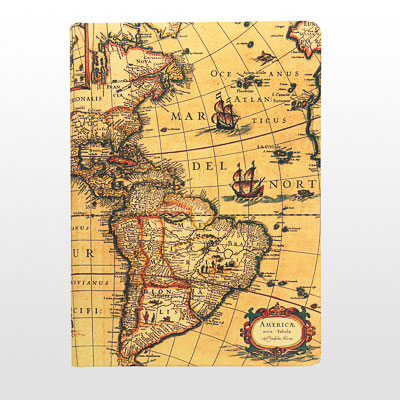
Early Cartography
Paperblanks notebooks on Early Cartography are a true source of erudition and fascination for history and geography enthusiasts. They invite us to discover the history of cartography and to explore the wonders of the world through the eyes of our ancestors. Among the most fascinating maps are the celestial map of Frederik de Wit and the world map of Willem Blaeu. Frederik de Wit's celestial map, published at the end of the 17th century, represents the hemispheres with detailed drawings of constellations and zodiac signs. This map provides an insight into how astronomers of the time perceived the universe and immerses us in a world of fascination for the stars. As for Willem Blaeu's world map, it was created at the beginning of the 17th century and represents the geographical knowledge of the time. This map is a marvel of precision and detail, offering an overview of the different continents, seas and oceans. Notebooks dedicated to these two maps allow us to discover the different astronomical and geographical theories that have been developed over the centuries, as well as the advancements in the observation of the night sky and cartography.
Sort by artists